Kenya's maps on location , different cities and towns, and tribe distribution

Wednesday, March 16, 2016

Map of Kenya's agricultural distribution

source: http://understandingthehorn.org/1974-kenya-vegetation-and-agricultural-cash-crops-map-no-501721

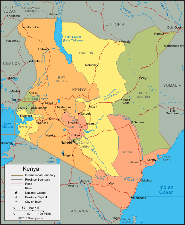
This is a map of Kenya showing the different crops which are grown depending on environmental factors such as, type of soil, amount of rain, and amount of sunlight.
Posted by Unknown at 3:03 PM No comments:
Email ThisBlogThis!Share to XShare to FacebookShare to Pinterest

Map of Kenya's Ethnic distribution

Map of Kenyan provinces showing majority ethnic group
Source: http://news.bbc.co.uk/2/hi/africa/7168551.stm

Kenya's population of 44.35 million ( as of 2013), can be divided into eight ethnic groups, all of which can be seen in the map above.
Posted by Unknown at 2:39 PM No comments:
Email ThisBlogThis!Share to XShare to FacebookShare to Pinterest

Kenya's Physical Map


Kenya political map
Displayed in the map above are the different provinces, cities, and towns of Kenya.
Source: http://geology.com/world/kenya-satellite-image.shtml
Posted by Unknown at 2:33 PM No comments:
Email ThisBlogThis!Share to XShare to FacebookShare to Pinterest
Newer Posts Home
Subscribe to: Posts (Atom)

About Me

Unknown
View my complete profile

Blog Archive

  • ▼  2016 (8)
    • ►  April (5)
    • ▼  March (3)
      • Map of Kenya's agricultural distribution
      • Map of Kenya's Ethnic distribution
      • Kenya's Physical Map
Travel theme. Powered by Blogger.